El Triunfo & San Antonio
History · ~60–70 km southeast · about 1 hour by car on Highway 1
El Triunfo is one of the most overlooked destinations in all of Baja California Sur. In the mid-to-late 1800s, this was the financial and cultural capital of the entire region — a prosperous silver and gold mining town with more than 10,000 permanent residents, an opera house, and a European character that felt entirely out of place in the Baja desert. The mines closed in 1926 and most people left.
What remains is a hauntingly beautiful ghost-town-in-progress: old stone buildings, a cemetery with ornate European headstones, a prominent chimney stack, and a small but excellent café scene that has attracted artists and weekenders from La Paz. It's an easy morning drive, and Cafetera El Triunfo in the village square is worth the trip on its own.
San Antonio is a quieter village a few kilometers further along the road — less visited, more authentically colonial, worth a quick stop if you continue up Highway 1.
Road conditions: Mostly paved Highway 1 with a turnoff before San Pedro. High-clearance or 4x4 recommended if venturing onto unpaved side roads or visiting in wet conditions (rare but possible in late summer).
Todos Santos
Culture · ~90–100 km northwest · 1 to 1.5 hours via Highway 19
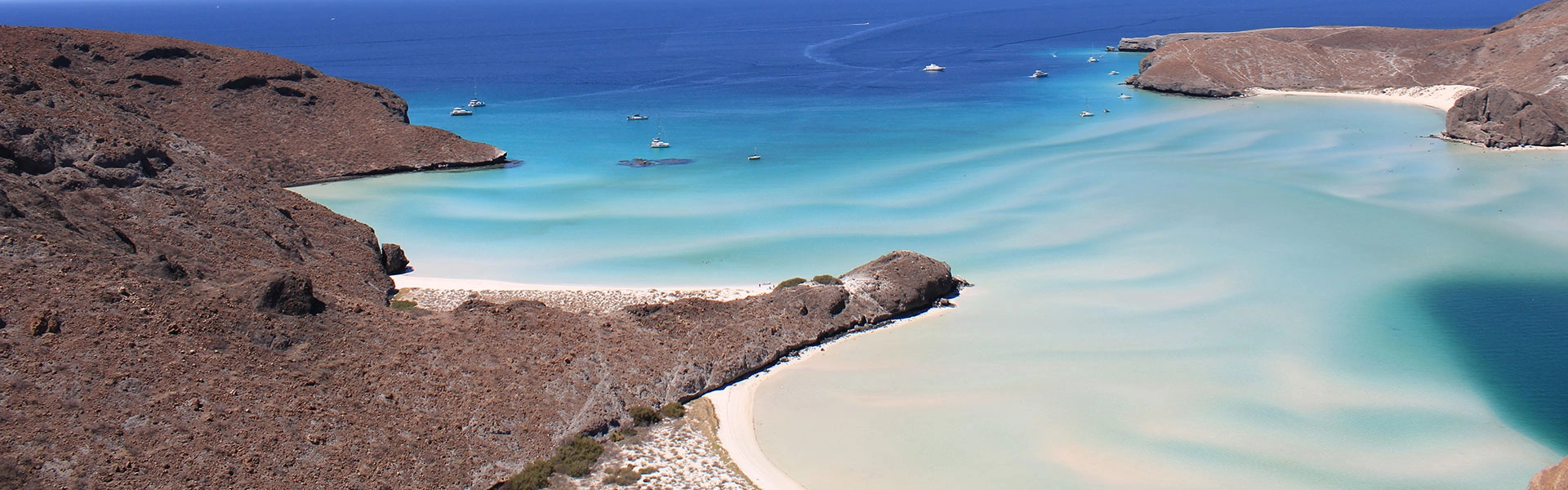
Todos Santos has evolved into one of the most visited towns in all of BCS, and for good reason. Designated a Pueblo Mágico (Magic Town) by the Mexican federal government, it has a distinct artistic identity: galleries, boutique hotels, farm-to-table restaurants, and a weekly art walk that draws collectors and casual visitors alike. The surf breaks at Punta Lobos and nearby Cerritos are legitimate, and the town maintains a low-key, genuinely Mexican pace that distinguishes it from the more resort-driven character of Los Cabos.
The Hotel California:Yes, there is a Hotel California in Todos Santos — a renovated historic property that leans fully into the Eagles song mythology. Whether or not the songwriters actually had this hotel in mind (they probably didn't), it's a fun stop, worth a drink at the bar, and genuinely atmospheric.
A full day is ideal for Todos Santos; a half-day is enough to cover the essentials — lunch, a gallery or two, and a walk through the historic center.
Pescadero
Beach + Coffee · ~75 km northwest · about 1 hour via Highway 19
Pescadero is a small agricultural and surf community that most La Paz visitors skip entirely — which is exactly why it's worth stopping. The beaches here (Playa Los Cerritos, Playa San Pedrito) are less crowded than anything closer to Cabo, and the town has a relaxed, locals-first energy.
The café at Km. 63 on Highway 19 in Pescadero — long associated with Baja Beans coffee — remains a worthwhile stop. The property has changed hands; it's no longer an official Baja Beans branded location, but the new owners still serve Baja Beans coffee from the same Pescadero-based roaster. The property is a mango-tree-shaded stop with full breakfast and lunch service, outdoor seating, and a Sunday farmers and craft market with live music.
Baja Beans Roasting Company (the roaster itself) continues to operate in the Pescadero area and supplies coffee to cafés and resorts across BCS. For their current retail and café locations, check bajabeanscoffee.com.
Sierra de la Laguna Biosphere Reserve
Nature · Varies by trailhead · Half to full day, guide recommended
The Sierra de la Laguna is a UNESCO-designated biosphere reserve rising dramatically from the Pacific coast of BCS. The mountain range is ecologically distinct from the desert lowlands — pine and oak forests, endemic species, and waterfalls hidden in deep canyons. El Triunfo sits at its northern edge, making it a natural add-on to that day trip.
Access is via gravel and dirt roads from several trailheads. A local guide or organized tour is strongly recommended — roads are rough and unmarked, and some trails require overnight camping for the deep-canyon routes. This is not a casual day trip for the unprepared, but a genuinely extraordinary experience for those who plan properly. Ask at tour operators in La Paz or El Triunfo for current trail conditions and guide recommendations.
Ferry to Mazatlán
Overnight crossing · Not a day trip — but a key reason to use La Paz as a base
The La Paz to Mazatlán ferry is an overnight crossing— approximately 12–16 hours — not a day trip. It's included here because it's a major reason overlanders and sailors use La Paz as a staging base, and because travelers often ask about it.
Operator: Baja Ferries — the primary operator on this route. Vehicle + driver costs approximately $150–250 USD; foot passenger tickets are less expensive. Schedule changes seasonally.
Always book directly at bajaferries.com or through a La Paz travel agency — do not rely on third-party schedules. Baja Ferries changes departure times and pricing seasonally, and pricing must be verified before booking.